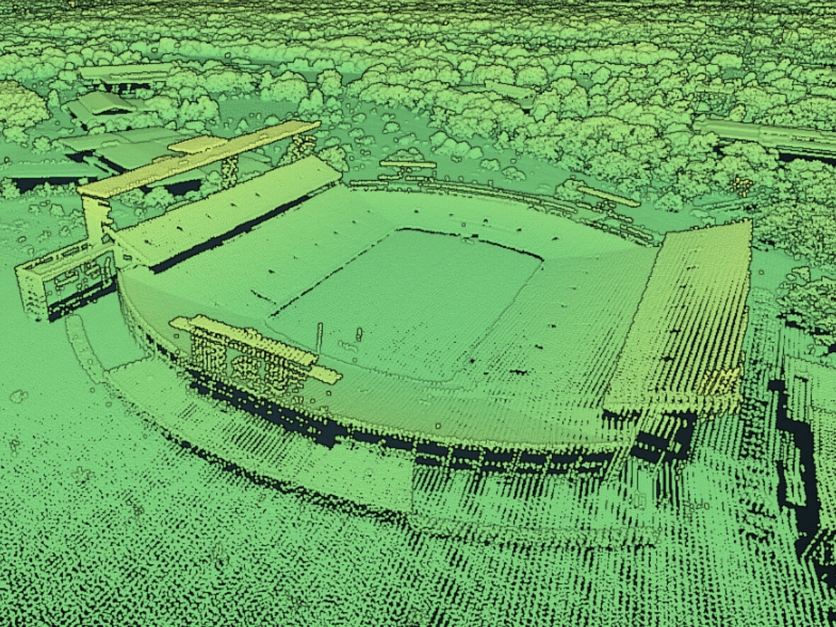
Cyndi Rachol will present on LiDAR (light detection and ranging) and the U.S. Geological Survey’s (USGS) National Map. This presentation will provide the following information:
- Give a brief overview of LiDAR point clouds and the USGS 3D Elevation Program (3DEP);
- Provide an update on the status of 3DEP availability in Michigan;
- Show the variety of data that can be explored through The National Map Viewer and accessed through The National Map Downloader or Services;
- Demonstrate USGS’ LiDARExplorer, with highlights given to data exploration using POTREE and COPC viewer tools; and,
- As time allows, introduce the USGS 3D Hydrography Program and discuss the connection to LiDAR-based, topographic data.
Guest Speaker

Cyndi Rachol
USGS
Physical Scientist
Cynthia (Cyndi) Rachol is a Physical Scientist for the USGS based in Lansing, Michigan. She obtained a Bachelor of Science in Geological Sciences from Michigan State University and is an Association of State Floodplain Managers (ASFPM) Certified Floodplain Manager. Cyndi has been employed with the USGS for over 25 years and is currently the National Map Liaison for Michigan and Ohio, performing outreach and partnership-building for the National Geospatial Program.