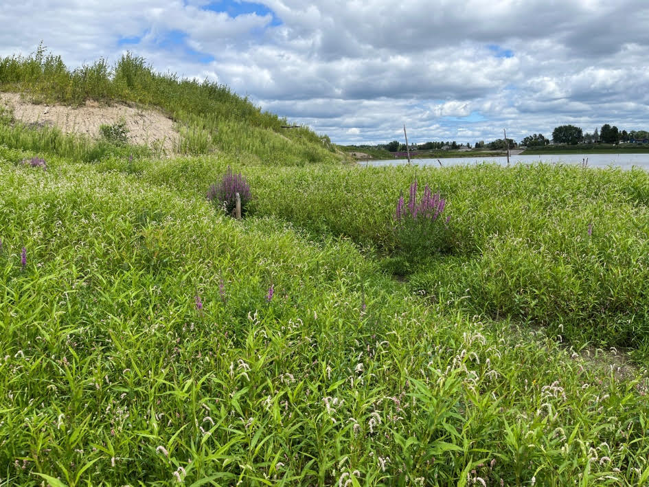
In May 2020, an unprecedented rainfall event and associated heavy flooding resulted in the complete failure of the Edenville and Sanford Dams in Midland and Gladwin Counties, Michigan. As a result of this natural disaster, a series of four impounded lakes totaling thousands of acres of surface water were drained. The loss of the lakes has had impact on wetlands: 1) the draining and degradation of adjacent wetlands as a result of modified local groundwater hydrology and 2) formation of new wetlands on the now exposed and disturbed lake bottomlands.
Merjent worked with project stakeholders to develop an approach that combined geospatial analysis and field verification techniques to determine an estimate of quantity, quality, and type of wetlands that are currently forming on the bottomlands. This review represented a number of challenges as all three parameters of typical wetland delineation methodology are considered both naturally problematic and significantly disturbed. The study resulted in the development of a detailed wetland and vegetation community type map that is intended to be used to support lake and wetland restoration planning.
Please Note – EGLE staff may be present on the webinar but no questions will be answered regarding EGLE regulation/permitting.